In the ever-evolving landscape of hurricane tracking, GPS technology stands as a game-changer. As storms grow more unpredictable, understanding how GPS enhances our forecasting abilities is crucial for keeping communities safe. Here’s what you will learn about the pivotal role of GPS in storm tracking.
What You Will Learn
GPS technology provides real-time updates on storm movements, allowing for timely public safety measures.
The accuracy of GPS enhances hurricane forecasting, making it easier to predict storm paths and intensities.
Organizations like NOAA and NHC leverage GPS data to improve their forecasting models and public communication.
GPS technology integrates with satellite imagery to offer a comprehensive view of hurricanes, aiding in better preparedness.
Cost-effective GPS-based tools are available for consumers to track hurricanes and receive alerts.
GPS Technology's Impact on Hurricane Tracking
An overview of how GPS technology enhances hurricane forecasting and supports public safety.
GPS Enhancements to Forecasting
•Data Integration
•Model Calibration
•Rapid Updates
Key Advantages of GPS Tracking
•Real-time Data
•Enhanced Accuracy
•Comprehensive Coverage
•Cost-Effectiveness
NOAA & NHC's Role
•Data Collection
•Forecasting
•Public Communication
Recommended Tracking Apps
•MyRadar
•Hurricane Tracker
•NOAA Weather Radar Live
Understanding GPS Technology in Hurricane Tracking
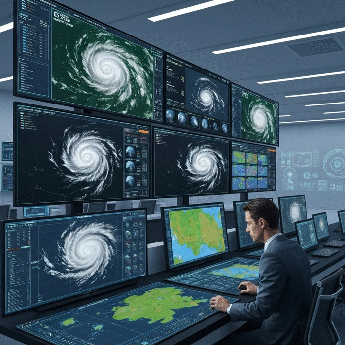
As a meteorologist, I can tell you that understanding GPS technology is essential in the world of hurricane tracking. GPS, or Global Positioning System, plays a pivotal role in monitoring and predicting storm behavior. By accurately determining the location and movement of storms, GPS allows us to provide timely and relevant updates, helping you stay safe during hurricane season.
The importance of GPS technology can't be overstated. It enables real-time data collection and enhances our ability to respond. With precise tracking, we can anticipate how storms may shift, which is crucial for protecting communities at risk of severe weather.
What is GPS Technology and Why Is It Important for Hurricane Tracking?
GPS technology operates by using a network of satellites that transmit signals to GPS receivers on the ground. This system allows us to determine precise locations within a few meters. For hurricane tracking, this accuracy is crucial, as even slight deviations can make a big difference in forecasting the storm's path.
Real-time Updates: GPS provides continuous data on storm movements.
Enhanced Tracking: It improves our understanding of hurricane development and intensity.
Public Safety: Accurate tracking helps officials make timely evacuation decisions, potentially saving lives.
At Hurricane News Today, we leverage this technology to keep our community informed. The more accurate our forecasts are, the better prepared you can be for the storms ahead!
How GPS Enhances Forecasting Accuracy for Hurricanes
Using GPS technology significantly enhances the accuracy of hurricane forecasts. One of the primary ways this happens is through the collection of data that informs predictive models. These models analyze various factors such as wind speed, direction, and atmospheric pressure, all of which are vital in understanding how a hurricane will behave.
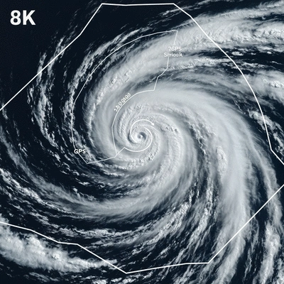
Data Integration: GPS data can be combined with satellite imagery, providing a comprehensive view of the storm.
Model Calibration: Accurate GPS readings allow meteorologists to fine-tune their models, improving accuracy over time.
Rapid Updates: GPS can quickly relay new information as storms evolve, ensuring forecasts are up to date.
With these advancements, we can better predict the impact of hurricanes, which ultimately leads to enhanced safety measures for your family and community.
The Role of NOAA and NHC in GPS-Based Hurricane Tracking
The National Oceanic and Atmospheric Administration (NOAA) and the National Hurricane Center (NHC) are at the forefront of utilizing GPS technology in hurricane tracking. These organizations harness the power of GPS to gather data that informs their decisions and public advisories. For instance, new forecast models, like the one being developed by the University of Miami, aim to improve hurricane intensity forecasts, building on the foundation laid by accurate GPS data. More information regarding the development of these advanced models can be found in news releases from EurekAlert! and the University of Miami.
Data Collection: NOAA utilizes GPS alongside other tools to compile vast amounts of meteorological data.
Forecasting: The NHC uses GPS data to enhance their models and provide timely forecasts.
Public Communication: Both organizations play a critical role in disseminating information to the public, ensuring everyone knows how to prepare.
By working closely with these agencies, Hurricane News Today ensures that you receive the most accurate and actionable information possible during hurricane season. We are here to empower you with the knowledge needed to stay safe and prepared!
Frequently Asked Questions About GPS in Hurricane Tracking
Here are some common questions about the use of GPS technology in tracking hurricanes:
Q1: What is the primary role of GPS in hurricane tracking?
A1: GPS provides real-time updates on storm movements and enhances forecasting accuracy by collecting precise location data, which is crucial for public safety and preparedness.
Q2: How does GPS improve hurricane forecasting accuracy?
A2: GPS data is integrated with satellite imagery, used to calibrate predictive models, and enables rapid updates as storms evolve, leading to more precise forecasts of storm paths and intensities.
Q3: Which organizations utilize GPS for hurricane tracking?
A3: Organizations like the National Oceanic and Atmospheric Administration (NOAA) and the National Hurricane Center (NHC) extensively use GPS technology to gather data, enhance their forecasting models, and communicate critical information to the public.
Q4: Can consumers use GPS-based tools to track hurricanes?
A4: Yes, there are many cost-effective GPS-based apps available for consumers, such as MyRadar, Hurricane Tracker, and NOAA Weather Radar Live, which provide real-time updates and safety tips.
Q5: What are the key advantages of using GPS technology for hurricane tracking?
A5: The key advantages include real-time data, enhanced accuracy, comprehensive coverage (especially over oceans), and cost-effectiveness, all contributing to better preparedness and safety.
We Want to Hear From You!
How do you prepare for an approaching hurricane? Share your thoughts below and let us know which GPS-based tracking app you find most useful!
Summarizing the Impact of GPS Technology on Hurricane Forecasting
As we navigate through the unpredictable world of hurricanes, it’s essential to recognize how GPS technology dramatically enhances our ability to forecast these storms accurately. By leveraging GPS in hurricane tracking tools, we can gain insights that significantly improve safety and preparedness. It’s not just about tracking a storm; it’s about understanding its potential impact on our communities!
Understanding the key advantages of using GPS technology can empower us all to make informed decisions. Here are some benefits that stand out:
Real-time Data: GPS provides instant updates on storm movements, ensuring that communities stay informed.
Enhanced Accuracy: The use of GPS greatly improves the precision of forecasts by offering clearer data on storm paths and intensities.
Comprehensive Coverage: With GPS, hurricane tracking extends beyond land, allowing us to monitor storms over the ocean where traditional methods may fall short.
Cost-Effectiveness: Many GPS-based tools are accessible and affordable, making them invaluable resources for families and local governments alike.
By harnessing these advantages, we can better prepare for the challenges that hurricanes bring. However, staying informed goes beyond just having the tools; it requires knowing how to use them effectively.
How to Stay Informed: Recommendations for Consumers on GPS-Based Tracking Apps
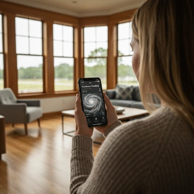
Staying ahead of a hurricane involves being informed through reliable sources. Here are some recommendations for GPS-based tracking apps that can help you stay updated:
MyRadar: This app offers real-time weather radar and hurricane tracking features.
Hurricane Tracker: A dedicated app that focuses on providing live updates specific to hurricanes.
NOAA Weather Radar Live: A highly reputable source for weather alerts and tracking.
Weather Underground: Offers crowd-sourced weather data and detailed tracking of storms.
These apps not only provide updates on hurricane paths but also offer safety tips and preparedness resources. Remember, it’s crucial to stay connected to reliable information, especially during storm season!
Exploring Popular Weather Channels and Apps for Real-Time Updates
In addition to apps, various weather channels and platforms provide essential real-time updates during hurricane events. Here are some popular options:
The Weather Channel: Offers comprehensive coverage, including forecasts and alerts.
AccuWeather: Known for detailed forecasting and interactive radar features.
National Hurricane Center (NHC): The go-to source for official hurricane advisories and updates.
Local News Stations: Don’t underestimate the power of local broadcasts for timely information specific to your area.
Utilizing these resources will help you stay prepared and informed about any developing situations. Remember, knowledge is power, especially when it comes to keeping your loved ones safe!
Recap of Key Points
Here is a quick recap of the important points discussed in the article:
Real-time Updates: GPS technology provides continuous data on storm movements, enhancing safety.
Improved Forecasting: GPS enhances the accuracy of hurricane forecasts by integrating real-time data and refining predictive models.
Public Safety: Accurate tracking helps officials make timely evacuation decisions, potentially saving lives.
Comprehensive Coverage: GPS allows tracking of storms over the ocean, where traditional methods may be ineffective.
Recommended Apps: Utilize apps like MyRadar and NOAA Weather Radar Live for real-time updates and safety tips.
Your go-to resource for live updates, breaking news, and comprehensive analysis of hurricanes worldwide. We help communities stay informed and prepared with our real-time alerts and in-depth safety resources.
Trusted by individuals and emergency responders, our mission is to provide timely and accurate hurricane information backed by seasoned meteorologists and cutting-edge storm tracking technology.